Use of aerial drones (also referred to as un manned aircraft systems (UAS)) is growing quickly, as hobbyists, photographers, mappers, and e-tailers take to the skies for imagery and deliveries. The Federal Aviation Administration (FAA), largely controls permitting and regulations, though states and localities will likely take a larger role to match drone management measures to local context. While still in early stages, technology companies are working on unmanned urban air mobility.
Benefits & Problems Addressed
Improved imagery: Drones allow planners, engineers and other professionals to quickly scan large areas of land at better resolutions that traditional telemetry from airplanes.
Deliveries: COVID-19 further made the case for drone deliveries, particularly for remote or difficult-to-reach locations.
Proactive steps and limitations: The FAA has increased permitting and requirements for visual line of sight. However, there are likely to be on-going limitations (e.g., flights over private property, noise, privacy, harm from dropped payloads, and airspace crowding). Operationally, there are also limitations with limited flight ranges and operations in windy areas.
Tips & Techniques
Core regulation: The general regulations state that drone operations cannot endanger people or property (including flying over people), fly near other aircraft, or interfere with first responders, fly near certain critical infrastructure. Use of drones to take unauthorized photographs is treated the same as other "peeping Tom" offences undertaken by other means according to local laws. Generally aerial drones are allowed to fly no higher than 400 feet. Drone regulations are still new; FAA expects to issue final rules in 2014.
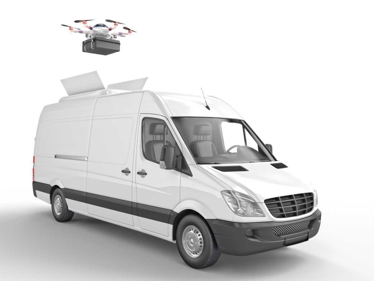
Types: Currently, drones are necessarily small to increase range and operational time. The smallest drones are typically camera or sensor-mounted and can travel at speeds up to 60 miles per hour. Larger drones are evolving for package deliveries. There are hybrid vehilce models where a van driver parks and loads packages onto roof mounted aerial drones. Finally, air mobility companies are in the early stages of unmanned passenger drones.
Public safety uses: Public safety agencies are using drones for (1) situational awareness prior to deploying public safety crews, (2) monitoring field conditions, (3) search and rescue, (4) post-disaster response, (5) traffic collision reconstructions, and (6) surveillance. Agencies also use drones for administrative needs such as resource allocation, mapping and inspections.
Using Drones for Urban Planning: UAVs allow planners to examine existing conditions, create maps, take traffic counts, document circulation patterns, produce flyovers to support stakeholder communications, and create 3-D renderings. Drones can also be outfitted with sensors to take environmental readings. Planners can use tethered drone to take traffic counts, augment 5G and wirelss transmissions,
Planning for Air Drones: Planners will also face new topics to be considered in planning, policy and permitting. Working with other Departments, planners could be brought in to help with GIS and mapping, flight path designation, use permits, and site planning. For example, real estate developers may soon include terrestrial and air drone delivery flow paths within master planning and mixed use communities. Use of tethered drones may constitute a more flexible way to position wireless communications infrastructure; this could require regulations and planning support.
Emerging issues and operations: FAA, NASA, and other entities are using the first generation of pilot programs to refine and expand how and where drones are used. As of October 2020, FAA has completed the Phase 1 Unmanned aircraft traffic management Pilot Program (UPP) to test communications and establishment of fly and no-fly zones for emergency flights. Phase 2 will develop an unmanned traffic management (UTM) system to control the increasing number of public and private sector drones in flight. In addition to flight, issues related to risk, liability and insurance will also need to evolve.
Hot Buttons: As listed above, drones are currently controversial with respect to several issues: flights over private property, noise, privacy, harm from dropped payloads, and airspace crowding. Law enforcement agencies have used drones for controversial uses such as dispersing crowds, conducting search warrants, and enforcing COVID-19 restrictions. The threat of weaponized drones is also a key consideration.
Resources
Local Government Policy and Planning for Unmanned Aerial Systems, Mineta Transportation Institute

